


Company
Тopomatix
Team Size
4 people
Duration
ONGOING
Tech Stack
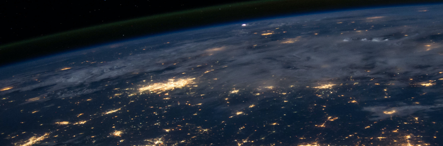
Innovative Frontend Solution for Optimized Geospatial Data Capture and Analysis
Our client, a prominent geospatial data organization, enlisted our help to construct the frontend of a platform focused on capturing and interpreting geospatial data from various sources, generating 3D models, and offering an intuitive interface. Our team, consisting of skilled frontend developers, designers and a project manager, carried out thorough research and analysis to comprehend the client's objectives and necessities. We proceeded to design and develop the frontend using cutting-edge web development technologies.
During the development process, we maintained close collaboration with the client to ensure the frontend aligned with their specifications and provided a smooth user experience. Rigorous testing and quality assurance were conducted to pinpoint and resolve any issues, and we furnished training and support to guarantee the client's team could effectively use and maintain the platform.
Upon successful launch, the frontend we crafted became a vital component in the capture and interpretation of geospatial data, the creation of 3D models, and the provision of an easy-to-use interface for both the client and their clientele. The platform has significantly improved data capture and interpretation workflows, leading to heightened productivity and efficiency for the client. The 3D models generated by the platform have been employed in various applications such as urban planning, construction, and environmental monitoring.
Our proficiency in contemporary frontend technologies and our ability to closely collaborate with the client enabled us to deliver a platform tailored to their specific needs, adding considerable value to their operations. We take pride in having played a substantial role in the reality capture and interpretation of geospatial data by building the frontend of this innovative platform.